A uniquely spectacular western landscape – let’s protect it via legislation to designate a National
Conservation Area or by executive proclamation to establish a National Monument.
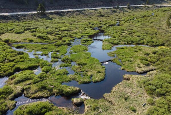
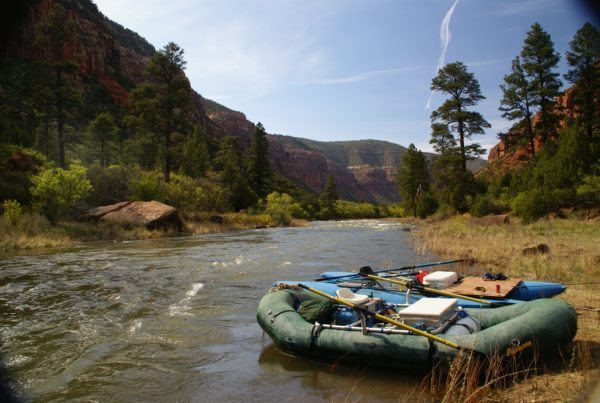
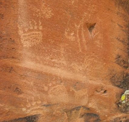
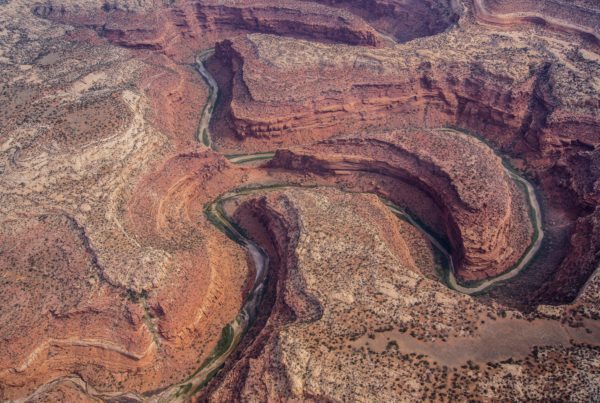
The Dolores River begins amidst 14,000 ft summits in Colorado’s San Juan Mountains and flows for more than 230 miles to join the Colorado River in Utah. The Dolores River features magnificent stands of old-growth ponderosa pine, thrilling white-water rapids, sheer-walled sandstone canyons, and hidden archaeological treasures.
Dolores River Dialogue
For over a decade, the San Juan Citizens Alliance worked in collaboration with local businesses, irrigators, land and water managers, wildlife officials, and conservation, fishing, and recreation organizations as part of the Dolores River Dialogue to search for ways to improve management of the Lower Dolores.
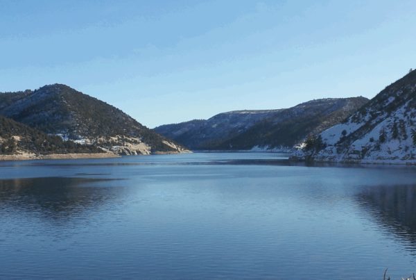
After the Dolores River was found suitable for Wild and Scenic River designation, the community came together in the Lower Dolores Plan Working Group to find an alternative management solution that would work for all river users. The Working Group formed a 68,000-acre National Conservation Area (NCA) that would protect the river corridor from McPhee Dam downstream to Big Gypsum Valley from energy development.
Photo: John Fielder
National Conservation Area
In 2023, after years of preparation, Sen. Michael Bennet (D-CO) introduced legislation to establish a National Conservation Area designation for the Lower Dolores River corridor from McPhee Dam to Big Gypsum Valley. The NCA was designed in the place of a potential Wild and Scenic River designation to provide similar protections. The proposal was built through collaboration of many stakeholders and was vetted and reviewed by all affected parties.
Current Status
The Dolores River NCA legislation was approved by the U.S. Senate Energy and Natural Resources Committee in December 2023, and is awaiting a vote by the full Senate.
Alternatively, President Biden could proclaim a National Monument for some or all of the Dolores River canyonlands under the authority of the Antiquities Act, similar to the creation of the popular Canyons of the Ancients National Monument.
Recent News
